
River landscapes / 10 minute read
The river is a
daily clock.
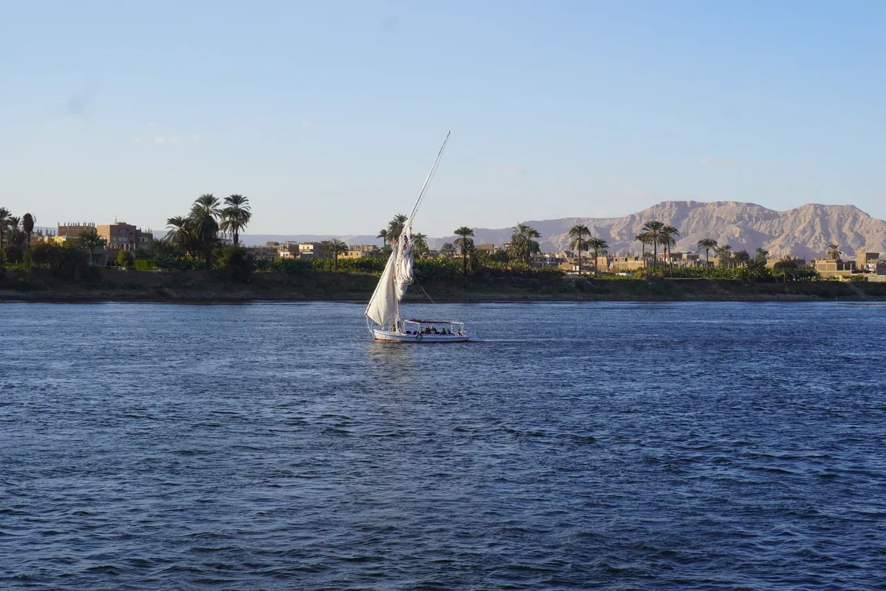
Along the Nile Valley, the landscape is shaped by a close boundary between cultivated ground, settlements and dry open land. Watch how that boundary changes instead of treating the river as a backdrop.
Notice the green edge
From a distance, rows of palms and cultivated plots make the river’s influence visible. In closer settlements, irrigation channels, field paths and working riverbanks require attention. Stay on clear public routes and do not enter cultivated land without permission.
Keep working space open
River edges may support fishing, ferry movement, loading and everyday transport. Stand where you do not narrow an access point. Move when asked, and keep bags or tripods away from ropes, ramps and working surfaces.
Plan around light, not only heat
Morning can offer clearer detail and active river movement. Late afternoon softens contrast but shortens the margin before dark. Midday light is strong and reflected glare can be tiring, especially near open water.
Connect slowly
The distances between river towns can look simple on a map but still require a long day. Give each area enough time to have its own rhythm. A short river observation and a walk through nearby streets can say more than repeated transfers.
Compare two fixed viewpoints
Choose one open view and one view partly framed by palms, buildings or cultivated ground. Spend several minutes at each rather than walking continuously. The comparison reveals wind, working movement and the relationship between water and settlement without entering private or agricultural space.
Record change without assumptions
Water level, cultivation and boat activity vary with season and location. Describe what is visible on the day instead of presenting one observation as a permanent condition. If a practical decision depends on water or access, confirm it locally and close to the time.
Observation scheme
Read one river edge in layers
Footing, working access, ropes, ramps and where your presence could interrupt movement.
Boat movement, cultivated edges, irrigation and the line between public and working space.
Settlement, palms, dry ridges and how haze changes the apparent distance.
Repeat the same view after fifteen minutes to notice flow, light and recurring activity.
A low-interference checklist
- □ Stand clear of ferry and loading approaches
- □ Keep tripods away from working surfaces
- □ Remain outside cultivated plots
- □ Ask before photographing identifiable workers
- □ Note the return point before sunset
- □ Treat water and access conditions as changeable
Sources and verification
- World Bank Climate Change Knowledge Portal: Egypt historical climatology — regional climate context and historical variability.
- World Health Organization: heatwaves and keeping cool — basis for hydration, shade and reduced midday exertion.
Sources reviewed 4 September 2026.
Continue reading