
City reading / 9 minute read
Cairo changes
block by block.
Cairo is easier to understand at neighborhood scale. Rather than crossing the city repeatedly, choose a compact area, walk its edges and watch how sound, shade and street use change.
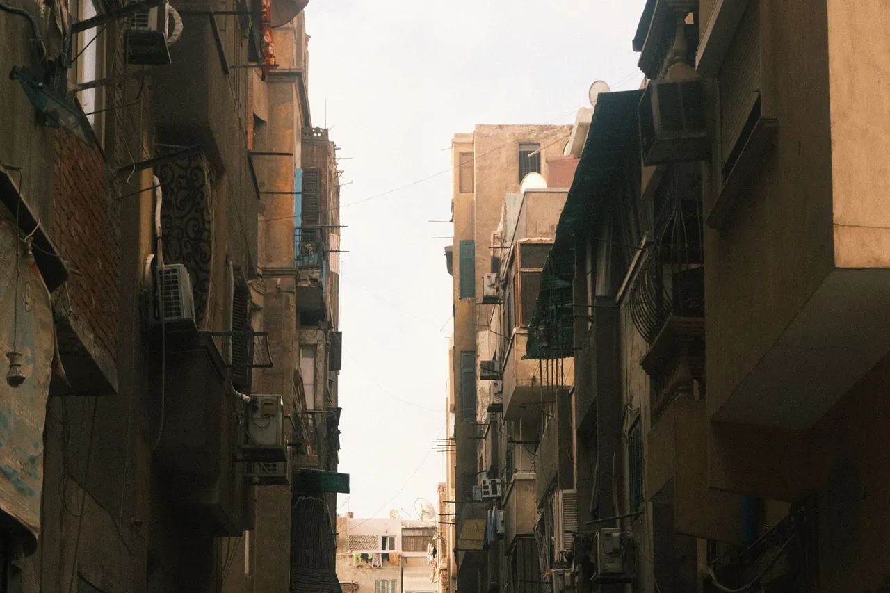
A useful Cairo day can be one district, one long pause and one reliable route home.
Set a small radius
Pick a starting point you can identify again, then imagine a radius of several blocks. Note a broad road, a quieter parallel street and one shaded place to pause. This creates a legible loop without turning every turn into a navigation task.
Read the ground floor
Street character often appears at eye level: where people queue, where chairs move into shade, how deliveries use the curb and where traffic becomes difficult to cross. Observe without blocking doorways or narrow pavements.
Treat crossings as decisions
Do not assume that a direct line on a map creates an easy walk. Large roads, construction and dense traffic can divide nearby blocks. If a crossing feels unclear, step back and choose a more legible point rather than following someone else blindly.
Use sound and shade
A quieter street may offer a better route even if it takes longer. Shade changes sides during the day, so the comfortable return route may differ from the outward walk. Early morning and late afternoon also reveal different patterns of activity.
Build in a fixed pause
Choose one café, public forecourt or other clearly welcoming place where you can stop without blocking movement. A planned pause gives you time to check the return route, drink water and notice whether the neighborhood has become busier. It also prevents fatigue from turning a simple crossing or navigation decision into a rushed one.
Finish before adding another district
When the loop closes, resist treating the remaining daylight as an invitation to cross the city. Write down what worked: the shaded side, the difficult crossing and the easiest landmark. That record is more useful for a later day than a hurried transfer to an unrelated area.
Conceptual route diagram
The one-neighborhood loop
Start at a landmark you can identify from more than one direction.
Follow one legible street until its character or crossing conditions change.
Stop in a welcoming shaded place and check the return side of the loop.
Use a quieter parallel street or retrace the clearest section.
This is a planning pattern, not a mapped route. Street access and crossing conditions must be assessed on the day.
Cairo walk checklist
- □ One written start address
- □ Offline map for the chosen radius
- □ Water and sun protection
- □ A fixed shaded pause
- □ A clearly understood return route
- □ Extra time for major crossings
- □ Permission before close portraits
- □ No second district added by default
Sources and verification
- World Bank Climate Change Knowledge Portal: Egypt historical climatology — national and subnational climate context derived from ERA5; consult current local forecasts for the day.
- World Health Organization: ultraviolet radiation — basis for shade and protective-clothing guidance.
Sources reviewed 4 September 2026.
Continue reading